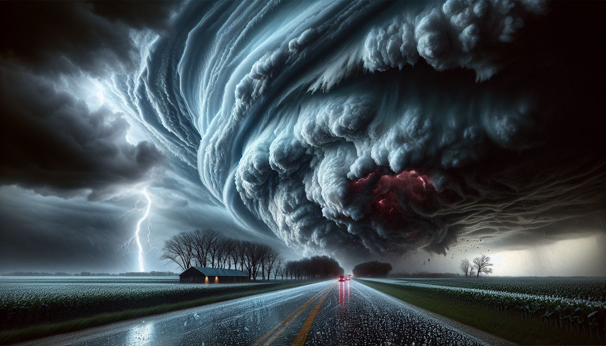
www.twilightpoison.com – Severe weather turned the sky over Kankakee, Illinois, into a dramatic laboratory on March 10, 2026. A powerful supercell thunderstorm unleashed enormous hailstones that may have rewritten the state’s record books. Residents watched in disbelief as ice chunks, some larger than softballs, hammered rooftops, vehicles, and fields in a matter of minutes. What began as a forecast for strong storms escalated into a rare and violent display of atmospheric energy.
This outbreak of severe weather offers more than a viral moment of smashed windshields and shredded siding. It raises deeper questions about how often such extremes will occur, how prepared communities really are, and what this event reveals about a warming climate. The Kankakee supercell might be remembered not only for potential record-breaking hail, but also as a warning that our relationship with the atmosphere is changing faster than our safety habits.
A Record-Breaking Hailstorm Over Illinois
The Kankakee supercell did not appear out of nowhere. Meteorologists had monitored a volatile setup favorable for severe weather across portions of Illinois, Indiana, and nearby states. Warm, moisture-rich air surged north from the Gulf of Mexico, while cooler, drier air slipped south aloft. Between those air masses, strong wind shear created a perfect stage for rotating thunderstorms. Once the storm near Kankakee tapped into that environment, it quickly intensified into a classic supercell.
Within this churning storm, hailstones formed as updrafts lofted raindrops high into subfreezing layers. Each trip through the cloud added a new icy shell, allowing the stones to grow larger before gravity won. Witnesses later reported impacts so loud they drowned out normal conversation. Photos shared on social networks showed hail piled like summer snowbanks along curbs and in yards, proof of just how intense this severe weather episode became in a short span.
Preliminary measurements from meteorologists and trained spotters suggest at least one hailstone may rival or surpass the previous Illinois state record. Scientists carefully documented its size using calipers and standardized procedures, because record verification demands precise evidence. If confirmed, this hailstone will stand as a benchmark for future storms. More important, it will prompt fresh conversations about building codes, crop insurance, and how Midwestern towns adapt to escalating severe weather risks.
How Severe Weather Supercells Turn Violent
Supercells represent the elite athletes of severe weather, capable of producing giant hail, destructive winds, and occasionally long-track tornadoes. What sets them apart is a rotating updraft known as a mesocyclone. In the Kankakee case, strong low-level winds from the south met faster west-to-east winds higher up, creating horizontal spin. The storm’s powerful updraft then tilted that spin upright, spawning rotation. Once that process began, the supercell organized itself, sustaining intense hail growth in specific regions inside the cloud.
Hail thrives inside these rotating beasts. Updraft speeds can exceed 80 miles per hour, strong enough to keep large stones suspended for an extended time. As they cycle through regions with supercooled water droplets, layers of ice build up like rings on a tree trunk. When the updraft finally weakens or the stones grow too heavy, they plunge to the surface. That is when severe weather shifts from abstract radar signatures to broken windows and bruised crops.
From a personal standpoint, this event illustrates how we often experience science through shock. Most people do not think about lapse rates or vertical wind shear until ice crashes through a skylight. Yet every severe weather outbreak is a live physics lesson. The Kankakee supercell highlights how subtle changes in temperature, moisture, and wind can combine into something far greater than the sum of their parts. Instead of viewing these storms only as disasters, we might also see them as opportunities to better understand a dynamic planet.
Lessons for Communities Facing Future Storms
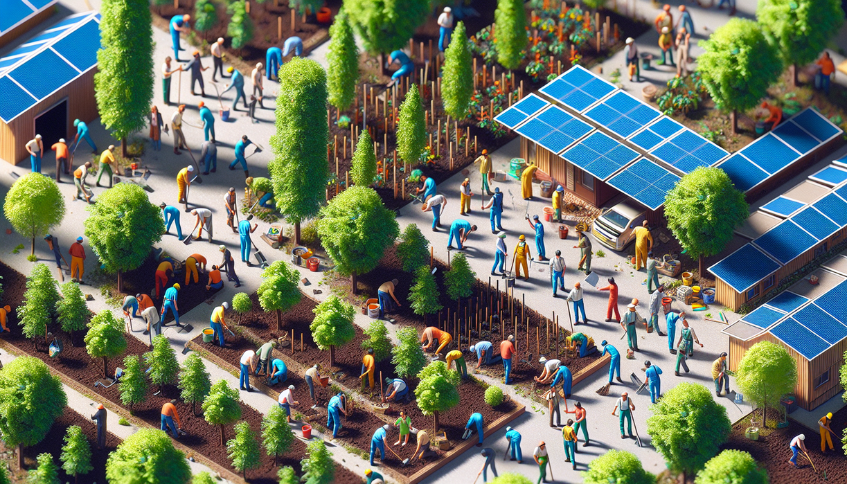
For communities across Illinois, the Kankakee hailstorm should serve as a blueprint for resilience in the era of intensifying severe weather. Homeowners may reconsider roof materials, reinforce skylights, or explore impact-resistant windows. Farmers might diversify crops or invest in improved insurance coverage as hail risk evolves. Local leaders can review siren protocols, strengthen communication channels, and support public education about sheltering from large hail, not just tornadoes. From my perspective, the most important shift lies in mindset. Instead of treating extreme storms as freak occurrences, towns should assume they will return, then plan accordingly. If we absorb that lesson, the next supercell will still be frightening, yet far less devastating, and perhaps more survivable for both people and property.